Nirvana Country, Gurgaon: street map
Every building, park, block and lane in Nirvana Country, Gurgaon (Gurugram), drawn from OpenStreetMap — 1,461 buildings and 16 named streets. Type a lane or road on the map to find it. We have not found a readable published plot plan for Nirvana Country, so plot numbers are not on this map.
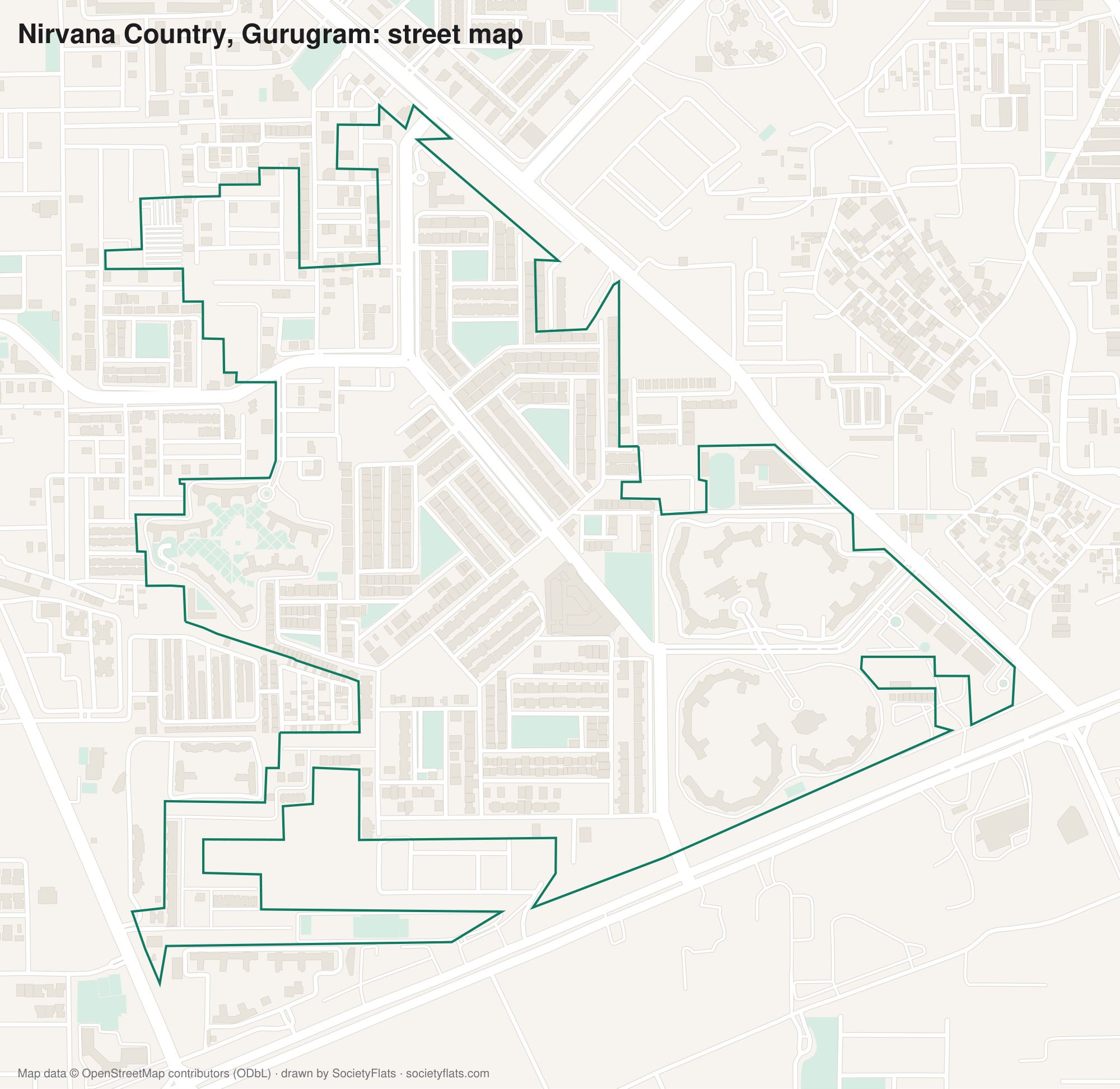
Streets and lanes on the map
C Block Main Entrance Road · C Block Road · Circular Drive · Dharm Marg · Golf Course Extension Road · Harmony Drive · J Block Entry Road · Nirvana Central Avenue · Nirvana Central Road · Nirvana Country Main Road · nirvana country main road · Nirvana Road · Samaspur Avenue · Society Exit Gate · The Close Avenue · The Close North Avenue
Map data © OpenStreetMap contributors, available under the Open Database License; drawn by SocietyFlats. Not a survey, a layout plan or a legal document — check a plot's details with the developer, the RWA or DTCP Haryana before any transaction.
Societies around Nirvana Country
9, Cedar Crest, Nirvana Country · Aspen Greens · Experion One42 · Harmony Towers 4 - 8 · Mayfield Garden · Pioneer Advait · Signature Global Daxin Vistas · The Woodstock Floors · Unitech Fresco · Wembley Estate
Other colony street maps: DLF Phase 1 · DLF Phase 2 · DLF Phase 3 · DLF Phase 4 · DLF Phase 5 · Greenwood City · Malibu Town · Mayfield Garden · Palam Vihar · Rosewood City · Saraswati Vihar · South City 1 · South City 2 · Suncity · Sushant Lok 1 · Sushant Lok 2 · Sushant Lok 3 · Uppal Southend · Vipul World