Sector 10A, Gurgaon: layout map
Every plot in Sector 10A, numbered — 1,948 of them — with 22 parks, the schools and the road widths, drawn from the layout plan HSVP publishes. Type a plot number on the map to find it.
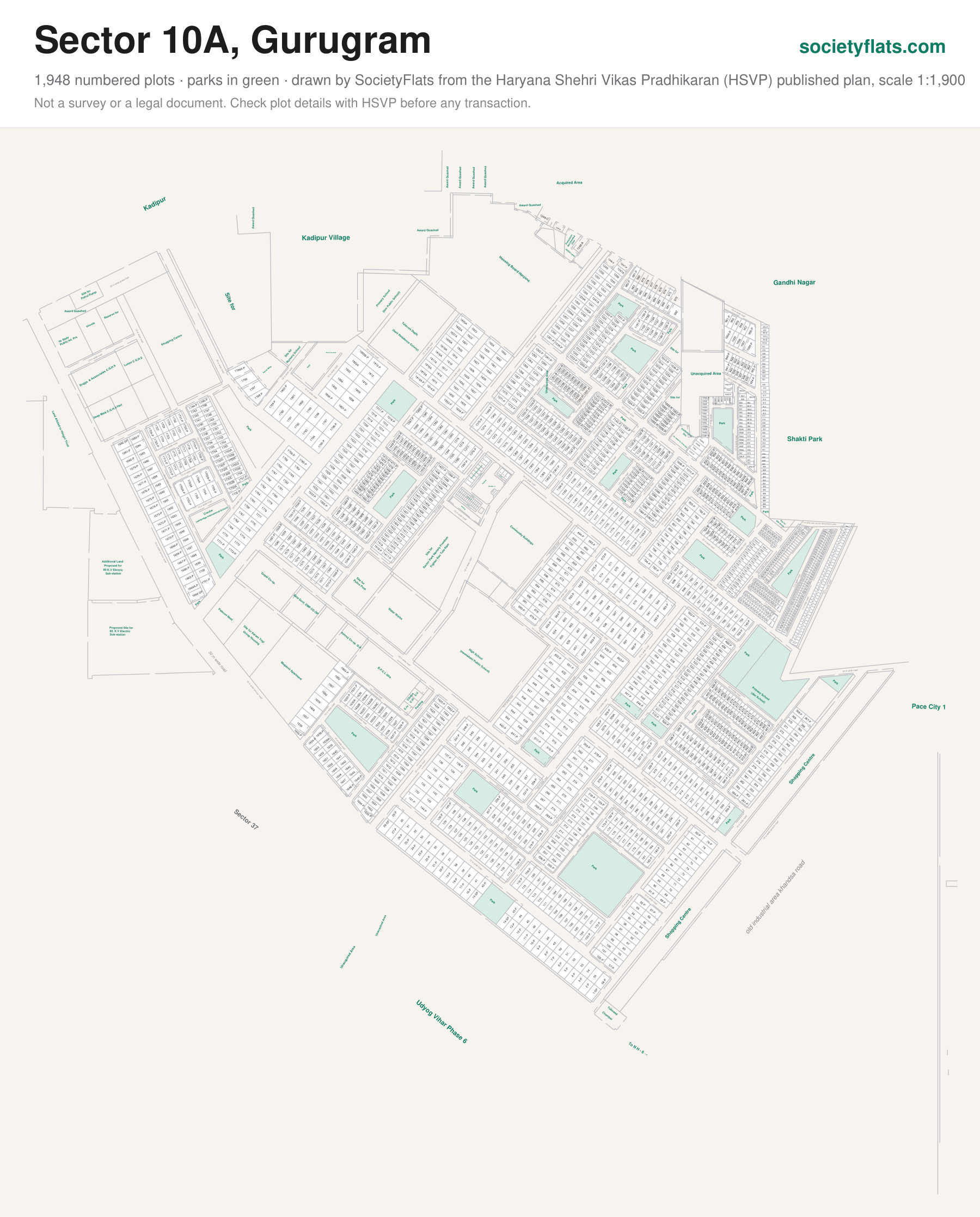
On the plan: Park, Site for, Institutional, Primary School, Housing Board Haryana, Telecom Deptt., Shopping Centre, Parking, B.P.C.L Ghs, Ashrey Co-op. G.H, Ekta Govt. EMP.CO-OP, Gopal Co-op., Palecon Nest, Site for Karam Yogi, Group Housing, Police Post, Water Works, Sector Park Namely Freedom, Fighter Rao Tula Ram, Community Buildings, High School, Deep Mala C.G.H.S, Hari, Enggs. & Asssociates C.G.H.S.
Next to Sector 37.
Source: the Sector 10A layout plan published by HSVP, scale 1:1,900. Plot sizes are measured from the drawing and approximate. Not a survey or a legal document — check a plot's details with HSVP before any transaction.
Other sector maps: Sector 9 · Sectors 15 Part II & 16 (part) · Sector 15 Part I · Sector 42 · Sector 43 · Sector 45 · Sector 46