Sector 46, Gurgaon: layout map
Every plot in Sector 46, numbered — 2,864 of them — with 22 parks, the schools and the road widths, drawn from the layout plan HSVP publishes. Type a plot number on the map to find it.
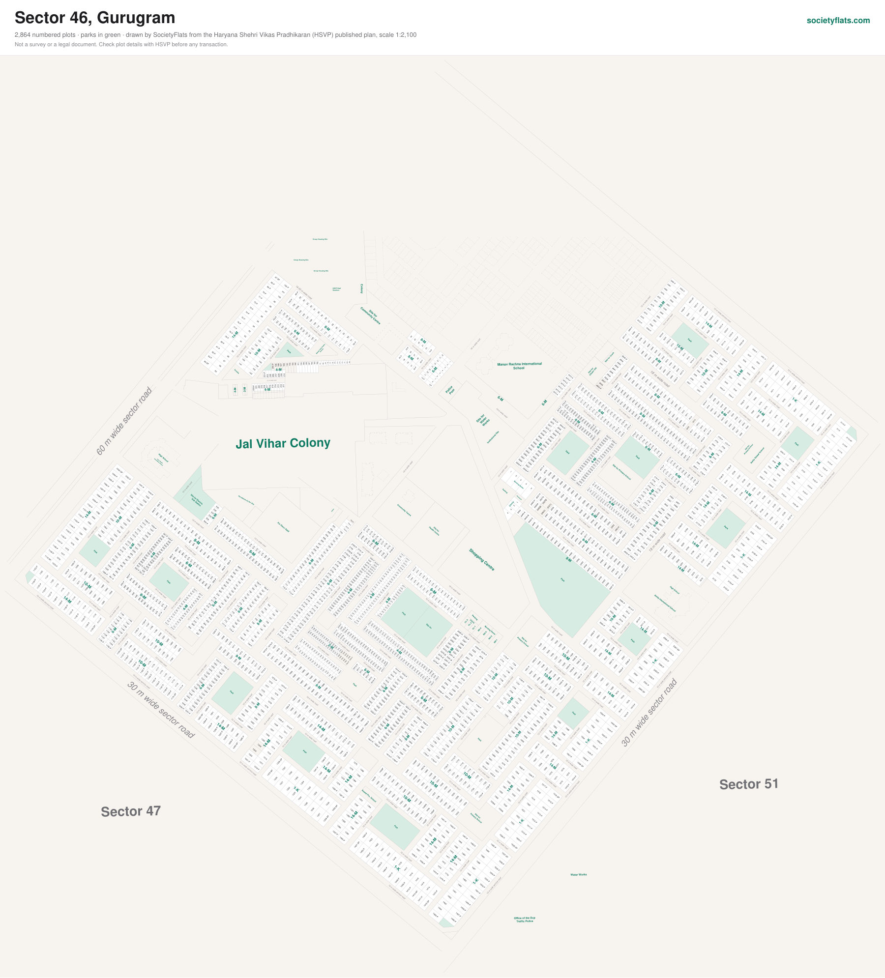
Plot sizes marked on the plan: 1-K, 14-M, 10-M, 8-M, 6-M, 4-M, 2-M (marla and kanal).
On the plan: Site for Electric, Sub Station, Park, Site for, Primary School, CL-1, CL-2, CL-3, NH-4, NH-3, NH-2, NH-1, Parking, Nursing Home, Clinics, Site for Crech, Citizen Old, Shopping Centre, Community Centre, Health Centre, High School, Site for Primary School, Water, Works.
Next to Sector 51, Sector 47.
Source: the Sector 46 layout plan published by HSVP, scale 1:2,100. Plot sizes are measured from the drawing and approximate. Not a survey or a legal document — check a plot's details with HSVP before any transaction.
Other sector maps: Sector 9 · Sector 10A · Sectors 15 Part II & 16 (part) · Sector 15 Part I · Sector 42 · Sector 43 · Sector 45